Projects · Research Archive
Methods for seeing the city more clearly.
Each project moves from an urban question to a measurable framework—and from evidence toward a paper, prototype, or civic tool.
 01
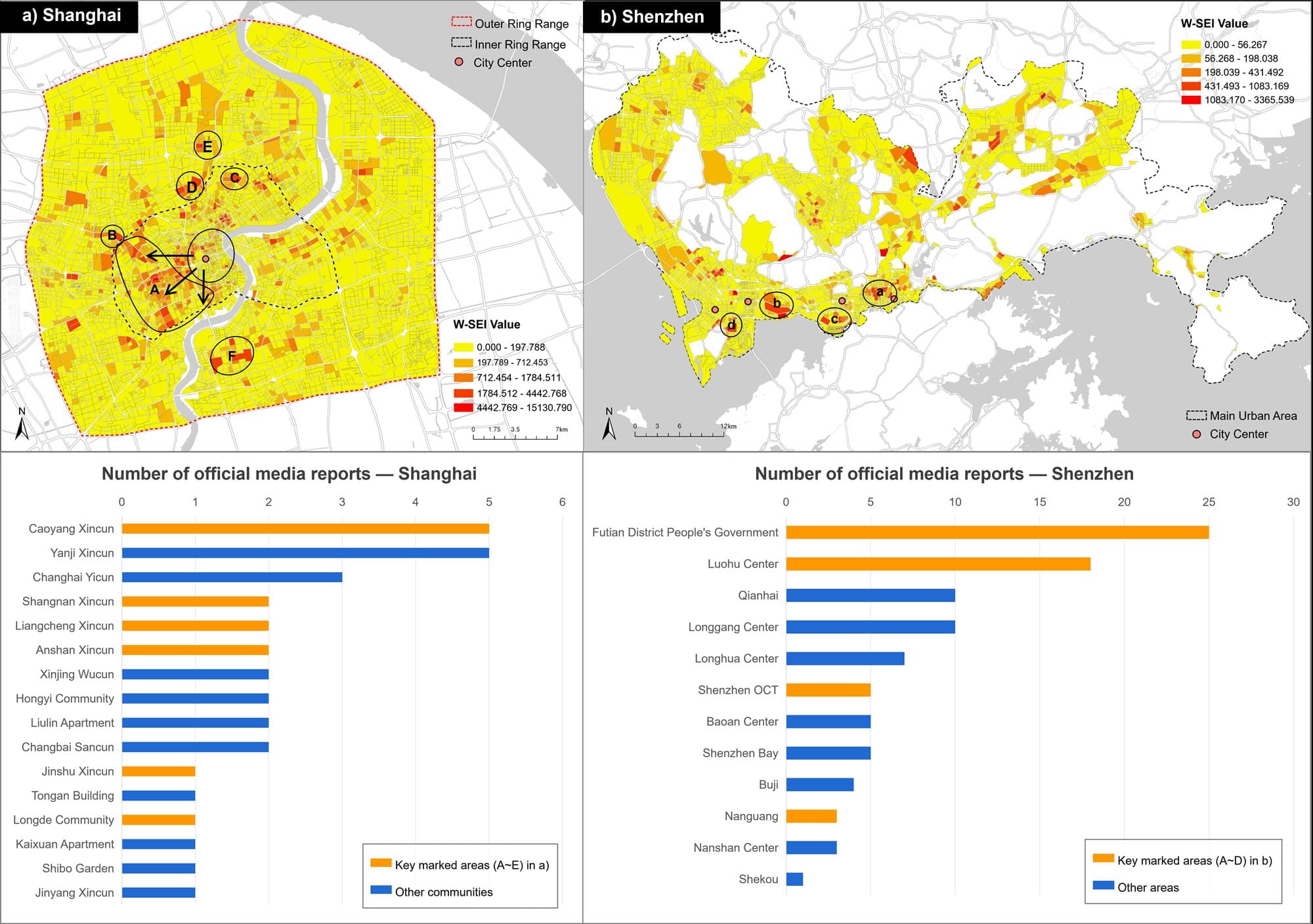
01GeoAI for Accessible and Inclusive Mobility
A large-scale measurement method combining street-view evidence, pedestrian networks, and AI-enhanced visual analytics.
 02
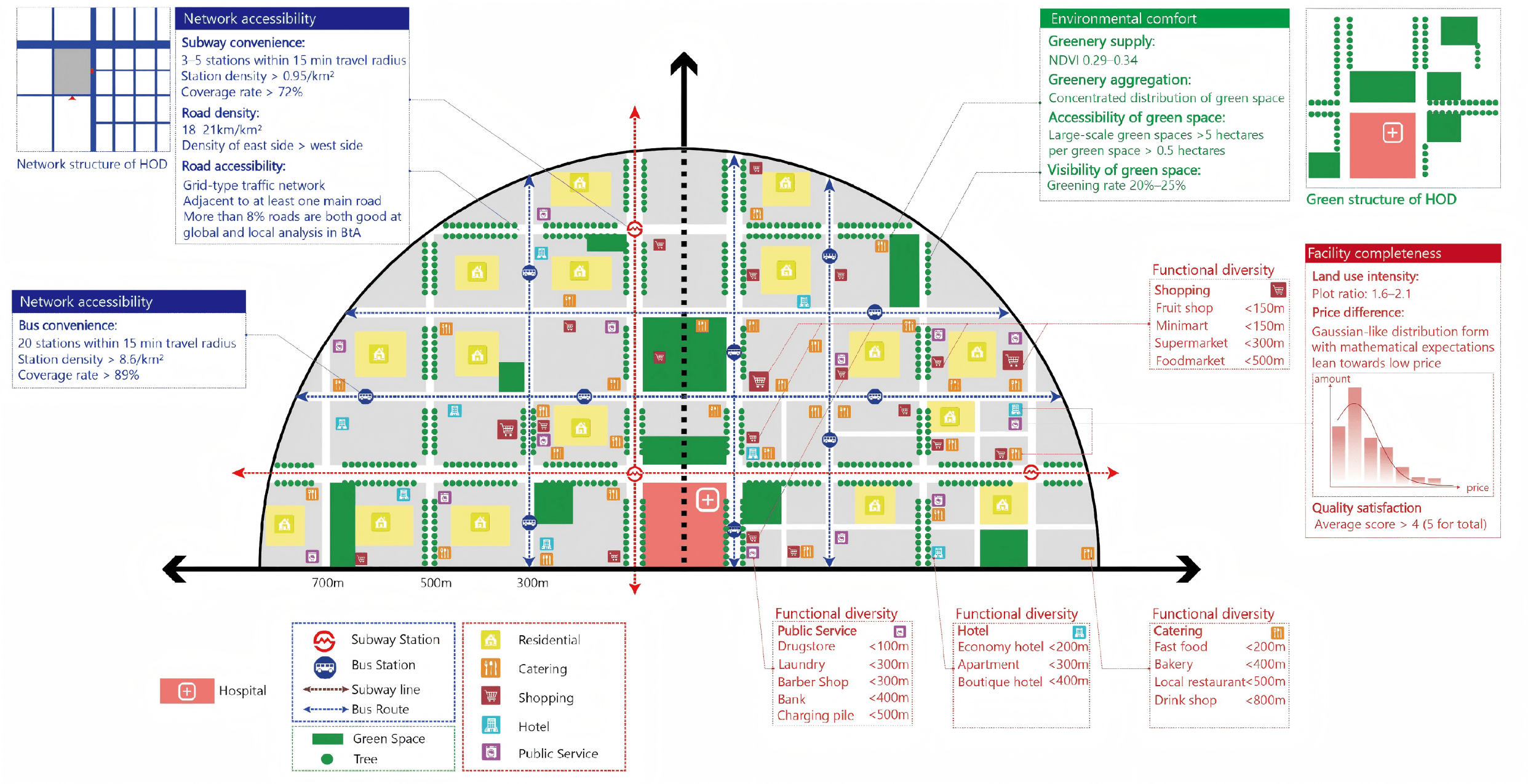
02Hospital-Oriented Development (HOD)
A quantitative framework and spatial prototype linking hospital accessibility with the quality and intensity of everyday urban life.
 03
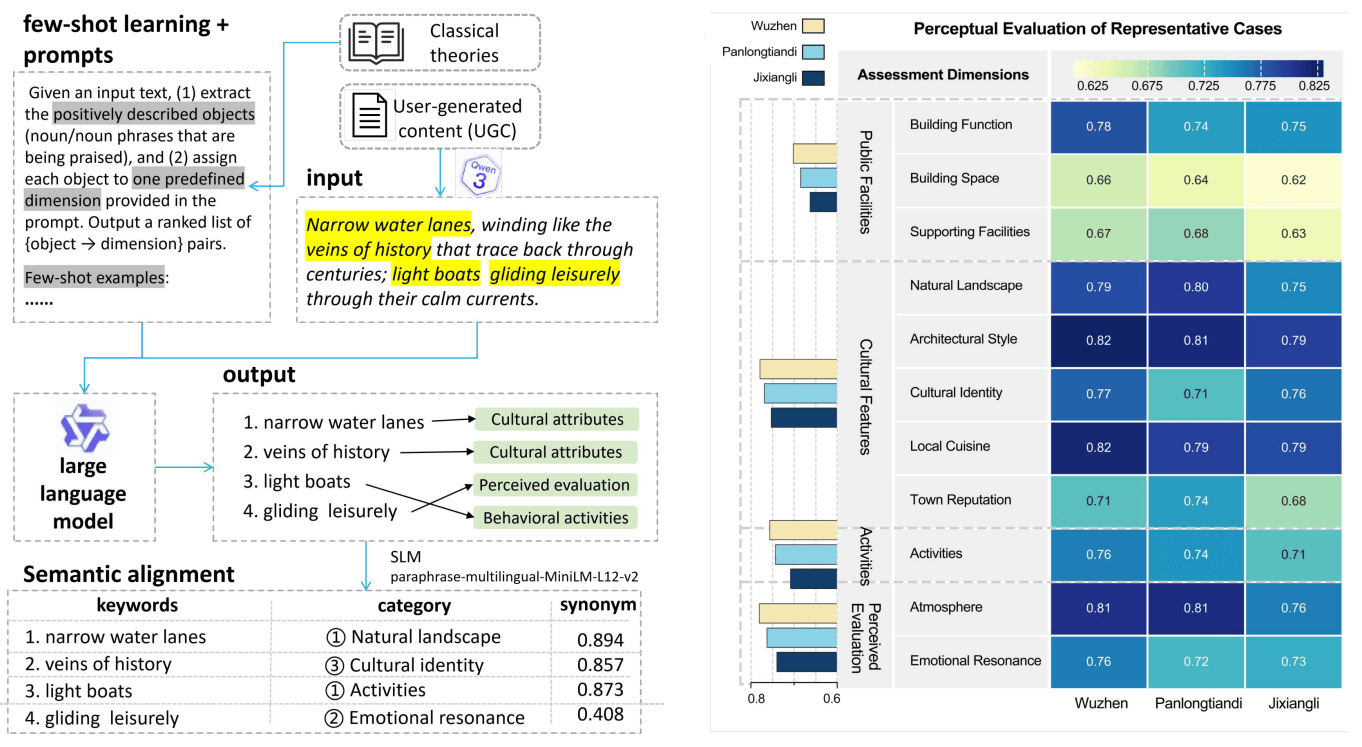
03Measuring Sense of Place Continuity
A multidimensional assessment framework for sense-of-place continuity in traditional settlements, quantifying an intangible experiential attribute of water towns.
 04
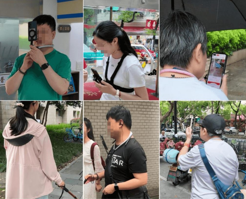
04Multimodal AI for Human Spatial Cognition and Proactive Interaction
A proactive human-centered AI framework that translates multimodal observations of BLV mobility into interaction decisions for AI navigation systems.
 05
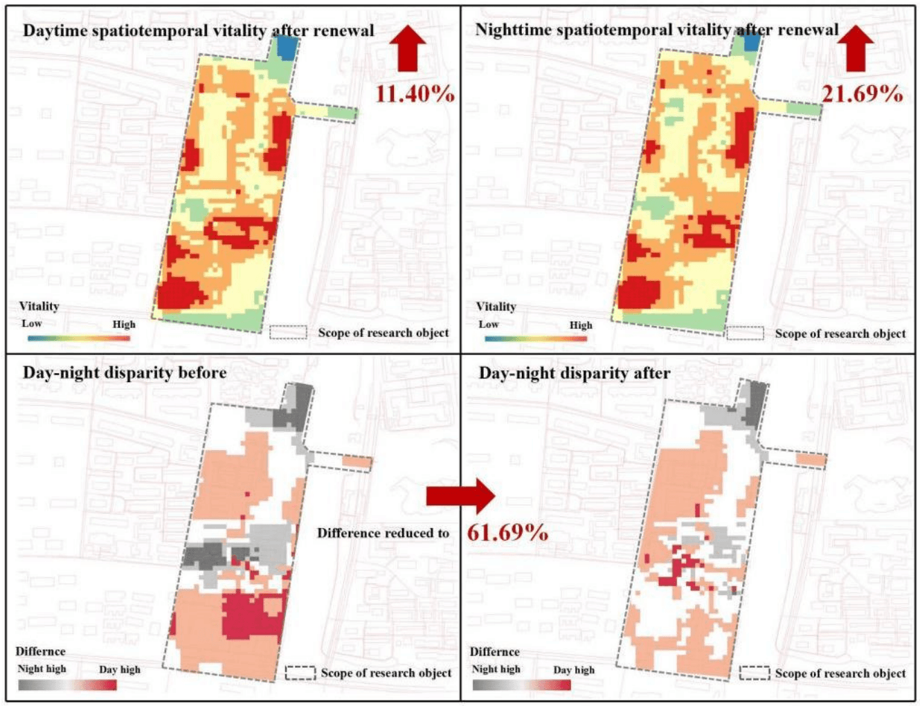
05Human-Centered Urban Vitality, Spatial Quality & Urban Regeneration
A computational workflow connecting spatiotemporal vitality, spatial quality, and design evaluation for human-centered regeneration in historic districts.
 06
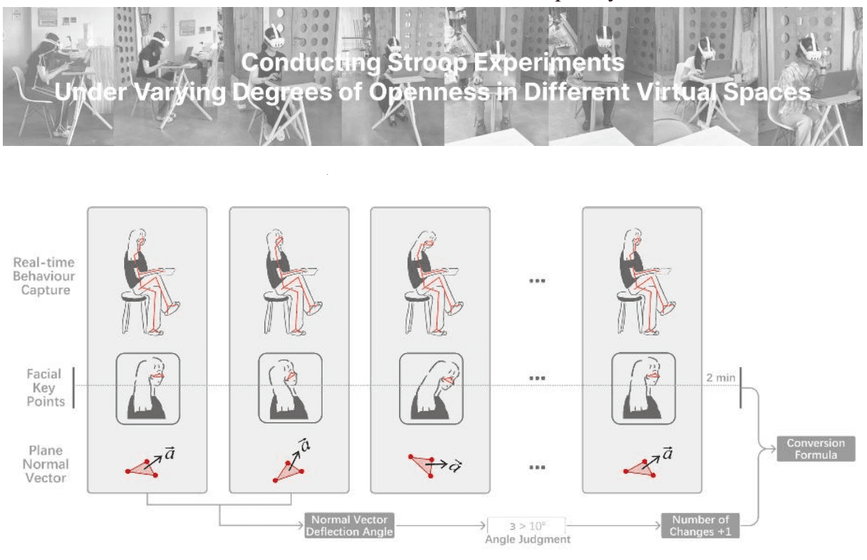
06Mixed Reality and Human–Environment Interaction
A bidirectional mapping mechanism between human micro postures and façade-control parameters for constructing a body–space correlation model.